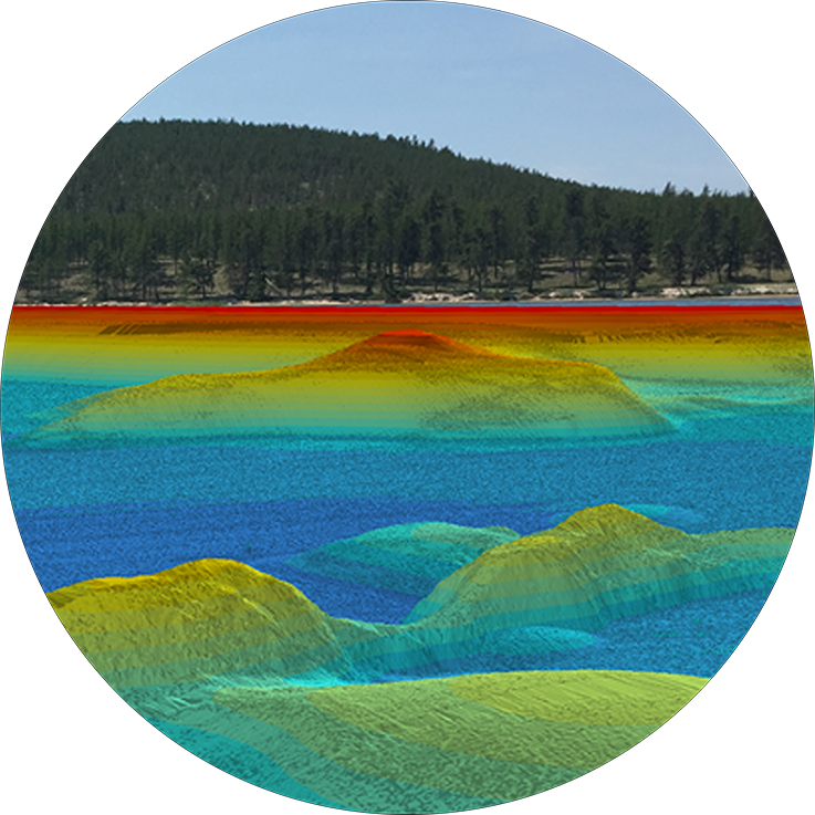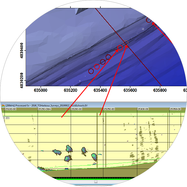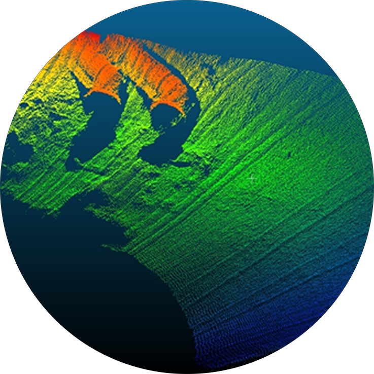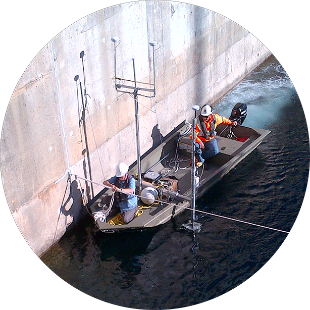
Cole Munro Foods were required to obtain updated fish spawning (Lake Trout and Lake Whitefish) habitat maps as a requirement of renewing their licenses for the operation of cage aquaculture facilities at three sites within the North Channel of Georgian Bay. Towards exceeding these requirements, “Milne Technologies” provided multibeam sonar bathymetry and side-scan sonar surveying of the lake bottom within the lease areas of the cage aquaculture sites near Little Current, Ontario. These surveys used a variety of methods to classify and delineate unsupervised substrate types over a relatively large area. Sonar imaging mosaics of the bottom substrate were draped over high resolution bathymetry maps to provide detailed assessments of fish spawning suitability.
Services provided for: Cole Munro Foods.
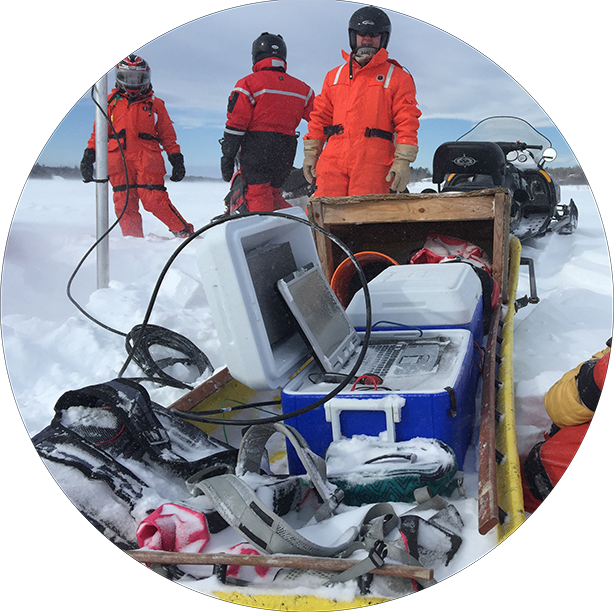
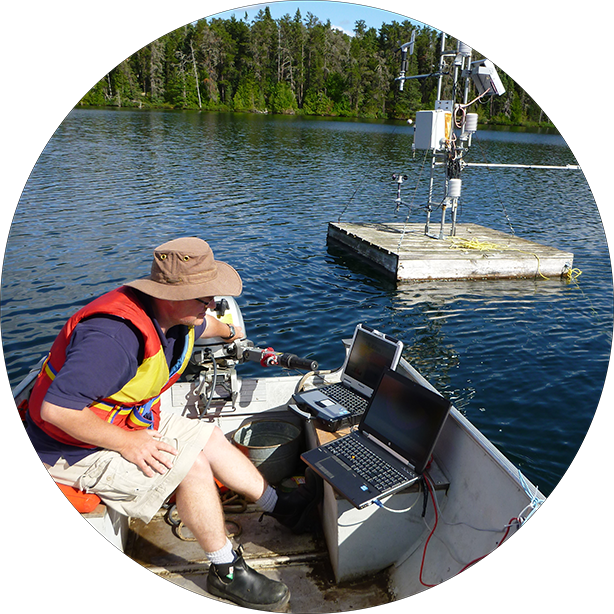
Field technology utilized for this project:
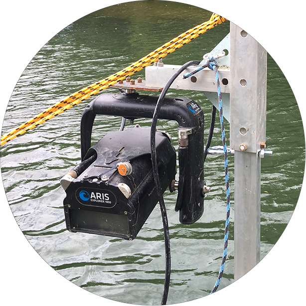
- Kongsberg-Mesotech M3 Multibeam Echosounder System (500 kHz).
- Mind-Technology Klein 3900 dual frequency side-scan sonar (SSS) system.
- Hemisphere VS1000 Vector DGPS with RTK base station correction and SBG Inertial Navigation System (INS).
- Sontek CastAway “Conductivity-Temperature-Depth” (CTD)
Products delivered by Milne Technologies:
- Classification of the bottom substrate was completed using QTC SwathView seabed classification analysis software.
- High-resolution maps of the lake bottom bathymetry model.
- Habitat mosaics created from side-scan sonar imaging of the lake bottom using SonarWiz software.
- Identification and delineation of potential Lake Trout and Lake Whitefish spawning habitat.
- Final report sumarizing the data collection and processing methods as well as key findings.